
November 3rd, 2025
- Mark Hunt

- Nov 3, 2025
- 7 min read
Hi All,
My first blog of November and as predicted last week, it has started off windy and wet as low pressure pushes across the U.K & Ireland.
Just 2 full days into the month and 10mm of rainfall on the ground here in Market Harborough. As I discussed last week, that's the kind of rainfall rate per day that we need to begin to re-address the state of drought we now find ourselves in.
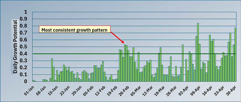
In basic terms we have 6 recharge months, October through to March. These are the months when rainfall totals typically exceed the amount of moisture lost through evaporation and contribute positively to groundwater, river and reservoir levels. Well we are one month down and although The Met Office hasn't realised a summary yet, I am pretty confident it will show that eastern and central areas of the U.K received significantly lower amounts of rainfall than the 30-year average, the so called 1991-2020 anomaly. The north and west look to be better off, so a real west-east divide developing currently.
If I pluck Milton Keynes out of the hat as a location, that area typically received 40mm odd in October, against a 30-year (1991-2020) average of 70.76mm. So in a month where we were hoping to top up our water levels, we actually lost ground and the drought continued. Using the 1991-2020 anomaly, normally by the end of October this area would have received 459mm, whereas the actual rainfall is 297.2mm.
At the weekend, I sneaked a quick 3 hour trip fly fishing off the bank at Rutland Water, the level had receded a further 5m from where I fished last a month ago and at the end of September Anglian Water stated it was 68% full, I wonder what that figure will be now.

Nature doesn't seem to mind though as I saw 7 Great White Egrets feeding in the mud margins of the reservoir in one bay. These are beautiful birds and becoming a fixture at Rutland Water. Last night, I went out to plug in my home charger to my EV and I heard the sound of incoming Redwings and Fieldfares, freshly arrived from Russia and Scandinavia to feast on our berry crop. Earlier in the summer, I was concerned that there wouldn't be a berry crop for these visitors because everything was maturing early, but the Hawthorn hedges are full of berries as I type and these make up their normal food. If I look at the ECMWF projection for today, there's a tranche of cold air over Norway and that's probably served as an impetus to make the trip.


So what weather will greet them ?
Well, as we can see from the ECMWF 10-day projection ahead, we are currently on a rodeo ride along a strong jet stream pushing in from The Atlantic. Those isobars are packed tightly so that means winds will be strong and currently the direction is from the south / south west, so mild air at this time of year. So for the first part of the week we will see a sunshine and showers spell of weather, mild air, windy and with most of the rain affecting the western side of the U.K. Denmark will also pick up rain in the first part of the week, but here high pressure will build as we progress through the week to bring calm and settled conditions later in the week. This high pressure will effectively slow the progress of Atlantic fronts into and across the U.K and ensure that again the bulk of rain is across Ireland, Wales and the western coasts of England and Scotland. That west-east divide will only continue to grow I think.
Mid-week we see more consolidated rain cross the U.K as the wind swings more southerly, butting up against that high pressure over Scandinavia. That south wind means very mild air will push across the U.K and Ireland, mid-teens during the day, maybe warmer further south and as a point to watch, remaining in the teens overnight. That could serve as a disease threat to some areas, particularly eastern and south eastern England. More rain for the west of the U.K on Thursday with this rain pushing northwards into northern England and Scotland later. By the end of the week, the centre of the low pressure will be sitting just off the west of Scotland and so we should expect more sunshine and rain showers, with the wind turning more south westerly. A quick trip across The North Sea into Denmark, sees cooler more settled weather with gentler winds and cooler overnight temperatures. Still a disease risk here I'd say from Microdochium.
We will see a brief pause for Sunday before the next low pressure presents itself and rain and strong winds welcome us in for the new week, next week. Unsettled conditions look to continue until the middle of next week. Thereafter there's a change potentially as the low pressure stalls and instead of moving eastwards, is pushed south by a growing continental high pressure system. Now the GFS and ECMWF differ in their projections as to what happens next, one suggests a more northerly airflow comes into play, so much colder, likely with scattered wintry showers. The other suggests an easterly airflow will come into play. So mid-month we could see a significant change in the weather and maybe a first appearance of winter ?

Agronomic Notes
After a bruising October from a disease perspective, thoughts now turn to the current month and the prospect of more outbreaks. That said November is usually a month where we see the arrival of cooler air that tends to drop the risk off somewhat, rising again in December usually I find.

October was a bruising month as can be seen from my Microdochium nivale model above, with two separate peaks from the 11th -14th and 20th - 22nd.
My model takes data from a Davis weather station and a leaf wetness sensor and convert it into the likelihood of disease occurrence. So it's not a projected model, it's real time based on actual data from this location using climatic and leaf wetness data and to me that makes it quite unique. What does the damage when it comes to symptom expression is consecutive days of disease pressure. This allows the pathogen to keep growing outwards from the initial infection point, with the highest population of active fungi at the edge / periphery of the damaged turf area. The image above shows this off brilliantly. Though again 'brilliantly' isn't the description that the course manager gave to this particular outbreak.
What I find so interesting and yes I know 'interesting' isn't exactly the term you guys would have used to describe the level of pressure and likely damage done to your turf, is the relationship between climate and pathogen.
Diary of a high pressure inversion event and why it represents high disease pressure
So, if you look at the chart above, you can see the blue line depicting barometric pressure in millibars (mb). It started to increase on the 4th October as high pressure began to build over the U.K. Now at this point we had a typical high pressure system, which means a column of warm air that is cooling and descending towards the ground. Initially with light winds and no cloud cover, the night temperature dropped as energy was lost to the atmosphere (this happens when we get clear night skies). So the air near the ground cooled and as it did so water vapour condensed to form moisture on the grass leaf as dew, but also mist / fog / low cloud as we typically see in what is called an inversion event. With next to no wind, the grass leaf stayed wet (little or no evaporation) and as importantly there was no mixing of the cool, moist air close to the ground and the warm air above it, so the cool, damp air near the ground stayed trapped close to the ground.. With long periods of dew and mild overnight temperatures (this mist / low cloud layer prevented more energy being lost to the atmosphere), the disease pressure grew from the 11th October as the cool air layer near the ground was being warmed by the boundary layer above it. Still we saw no wind, no mixing of these layers and the pressure continued to increase until the 15th October when a soon-to-arrive Atlantic low pressure system began to exert itself. Very soon the winds increased, the boundary layers were disrupted and the inversion event finished. And that's why disease pressure was so high, consecutive days of exactly the right conditions for pathogen growth.
Interestingly, later in the month we saw another peak of disease activity but this time the barometric pressure wasn't high. We had very mild, humid air and rain during the day, but at night we kept that humid air, the leaf was wet and stayed wet because with an atmosphere holding a lot of moisture, there was nowhere for the moisture to go. So again, that triangle of mild air, a wet plant leaf and high humidity.

Above is a graph for another location and again it picks out the two distinct disease peaks. This time I have overlaid the Smith Kerns Dollar Spot Probability model. Now as we know, people use 20% as a guide for Dollar Spot, but also Microdochium pressure in the winter, until the point where the average air temperature drops below the lower threshold used in the Smith Kerns model (10⁰C) and it shows no result. If you look at the two models, you can see the Smith Kerns does show two slight peaks, but in reality it is > 20% from October 1st to the 24th and what's more, those peaks come after the actual disease peaks shown in the Microdochium model. The reason for this is that the Smith Kerns model uses a 5-day average of temperature and humidity, whereas the model I have developed uses overnight data and reports a figure the following morning. So it is more responsive than the Smith Kerns and that's critical when it comes to reacting to disease pressure. One day, two days makes all the difference.
It isn't a criticism of the Smith Kerns model in relation to how it reports Microdochium nivale activity because in fairness this model was developed for Dollar Spot, a disease that 'works' in an entirely different temperature spectrum. It does a very good job in predicting Dollar Spot although it is clear that a European version of it is required. From research work I have undertaken with Prodata, I have found that the various genetic strains that make up Dollar Spot as a disease have different temperature ranges for their activity. Something I'll talk about more on in the future.
One last point and this is for any Danes that read this blog. You have high pressure forecast to build from the end of this week beginning with mild, southerly winds. Although not as mild as the one I discuss above, but from a Microdochium perspective, well within the temperature activity range for this pathogen.
All the best.
Mark Hunt


Excellent predicting and staying very relevant @Mark ; )